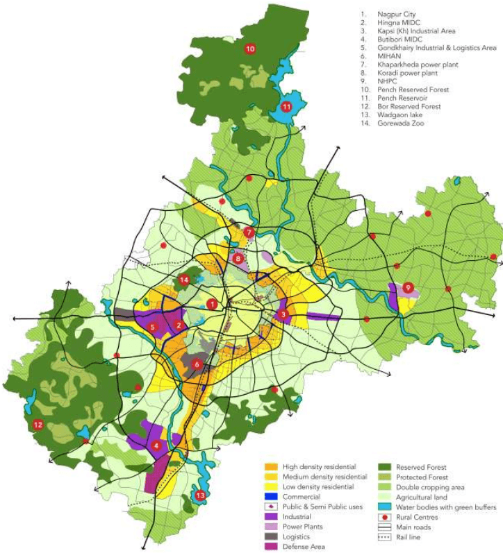
The NMA is a vast area spreading across 3,567 km2, exhibiting areas with diverse characters across the rural-urban transect. An important step for establishing a broad development policy for the NMA was to clearly recognize certain areas where future development is suitable and intended while preserving the natural, rural character of other areas.
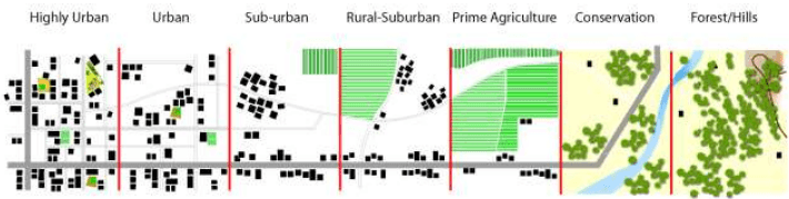
Based on the existing character of different areas in the NMA seven character zones are identified which are graphically represented in Figure 11-3 below. These are – Highly Urban, Urban, Suburban, Rural-
11-7
surburban, Prime Agriculture, Conservation, and Forest/ Hills. The character zones are based on various parameters that include land suitability analysis, development of economic bases, locations for urban centres, conservation of natural land and agricultural resources and jobs to housing balance.
Figure 11-3: The rural-urban transect
The typology of development suitable in each character zone is described below using various factors such as – development density, local transport connectivity, scale and typology, grain of development, public transit spread, open space typology, economic base, infrastructure provision and sustainability.
The rural-urban transect principles provide a framework for managing the intensity and typology of development using each of the above factor. In the spatial development plan, the idea of managing development with respect to the rural-urban transect will be manifested through the land use zoning proposals – thus, rather than having a single residential zone R1 with associated FSI and ground coverage, there will be four residential zones R1, R2, R3 and R4 with highest intensity development (FSI) for R1 and the lowest intensity development in R4.
11.4.1 Development Density
This helps to set out the acceptable density level in a land use zone in terms of dwelling units per hectare. This unit also helps establish the likely population that will reside per square kilometre in that zone. And therefore is an indirect way to establish the population density in a particular zone.
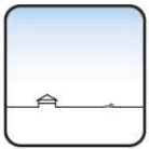
Low density
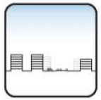
Medium to low density
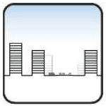
High to medium density
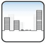
High density
11-8
11.4.2 Local Transport Connectivity
The second parameter is local transport connectivity. This relates to the idea about the kind of transportation connections, public or otherwise, are available in a particular area. These range from sparse regional connections to highly connected street network as seen in dense urban areas.
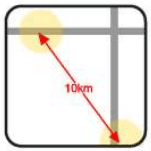
Sparse connections - regional

Main, occasional local connections – low network density

local connections – medium network density

Local small connections – high network density
11.4.3 Scale and Typology
Development scale and typology is the third aspect that helps define the development policy. This relates to the idea of scale and size of development in the form of number of stories and the footprint of development on a given piece of land. For example, scale of a particular development could be as small as a single storied development for a residential unit or as high-rise residential development. These are two different typologies of similar uses, but the manner of arrangement as single units, or units stacked up one on top of the other or as clusters helps define the ultimate form of development.
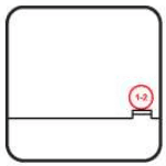
Low
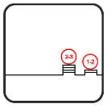
Medium to low
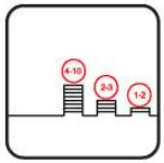
High to Medium
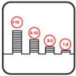
High to low
11.4.4 Grain of Development
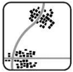
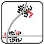
Grain of development is another parameter that suggests the footprint, grouping and spacing of developments. One could either have a sparse grain of development which suggests a rural development landscape with buildings spread thinly, or development in the form of linear arrangements along transportation corridors or, the possibility of clustered development around nodes, or the possibility of large format buildings and large blocks of development that occupy large footprints.
So the idea of development grain relates to the notion of the size of the development footprint and the pattern it creates on any given piece of land.
11-9
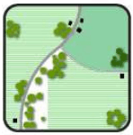
Sparse in rich farmlands, forests or hilly terrain
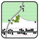
11.4.5 Public Transit Spread
Public transit spread relates to the potential or possibility to provide public transit in a particular zone. In other words, development policy that relates to public transit will help define the expectation for availability of public transit in that particular zone. It relates to the next policy about transit route proximity which defines how much average distance will someone have to walk in order to access public transit. Since one of the goals of the development plan is that transit provision should be maximized and made popular, the most obvious policy guidance would be that highly populated urban areas will have far greater transit proximity than far-flung rural areas.
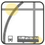
Availability at regional level – requires feeder service (at 30 to 60 minute driving distance)
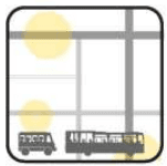
Transit availability ranges from regional to local level (at 45 to 15 minute driving distance)
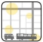
Transit availability at local level (at 15 minute walk distance)
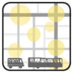
Ubiquitous
11.4.6 Open Space Typology
Open space typology varies across the urban to rural transect and the range of possibilities for open space to be expressed in ranges from open farm land and undeveloped land as open space to highly urban areas where defined playgrounds, tot-lots, neighbourhood parks etc. will form a part of the open space typology. The open space typology is a critical element of the development policy because it helps establish the expectation of the amount of developable versus non-developable area within a particular zone.
The open space percentage component of the development policy establishes the amount of ground coverage for individual plots or tracts of land within a particular zone. This is yet another way of expressing development intensity and grain but in the specific form of expectations for open space development within the NMA for various zones.
11-10
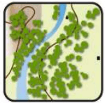
Natural open space, trails
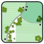
Farmlands, large unstructured spaces
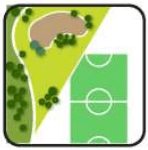
Regional parks and playgrounds
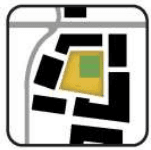
Local neighbourhood parks and public squares
11.4.7 Economic Base
Policy related to economic base distribution relates to the idea of what kinds of job sectors are likely to flourish and are being encouraged in the various land use zones of the NMA. It is critical to define this because there are clearly some areas within the NMA that are likely to abet and promote primary level jobs consistent with the underlying land uses and the development policy within the NMA. Whereas there are other urban and industrial areas where there are secondary and tertiary level jobs that are likely to be promoted on account of certain land use planning decisions resulting out of the planning process.
At a policy level, the economic base distribution also helps establish the potential to achieve a jobs to housing balance in smaller geographies within the NMA.
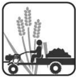
Predominantly primary sector
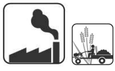
Predominantly secondary sector, mix of primary and secondary sectors

Mix of tertiary and secondary sectors
11.4.8 Infrastructure Provision
The policy related to infrastructure provision helps set out the expectation for infrastructure provision by a local authority within a particular zone. This policy is critical because it needs to be well understood that as a development authority of local body, it may not be possible for the local authority to provide all infrastructure to all parts of such a large geographical area like the NMA. In such a situation it is important to be able to prioritize the development of infrastructure in key areas where most of the growth is anticipated and will be promoted through the development plan. Such a prioritization of infrastructure provisioning helps to promote the idea of maximizing the benefits of infrastructure service delivery at the lowest reasonable cost.
11-11

Power supply in remote rural areas
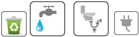
Areas where growth is intended serviced with sewerage and water supply networks and solid waste management
11.4.9 Sustainability
Sustainability is at the core of the development policy. But elements of sustainability that are most critical to this region are addressed based on the nature of every character zone. Sustainability from the perspective of development, deals with the idea of managing core elements that are essential to the development process. This policy addresses fundamental sustainable development issues like soil, water and air-quality management and management of energy to the extent possible influenced through the development planning process.

Soil and slope management in rural areas
Rainwater harvesting, solar power, tree plantation at plot level in urban areas; Reuse of treated water for industrial consumption
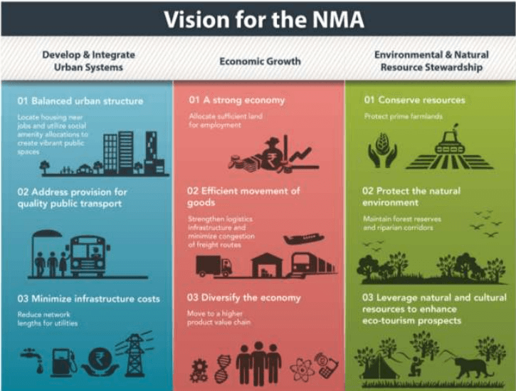
The vision and its components discussed in this chapter provide a framework for the Development Plan proposals.
11-12