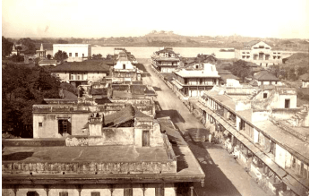
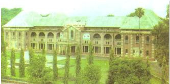
With its growing significance as logistical centre and as the capital of the Central and Berar Province, the British planned systematic expansion of the City. With the aim to execute and manage new development schemes for the needs of the growing population, the NIT was established in 1937 through the NIT Act, 1936.
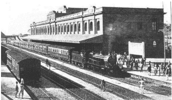
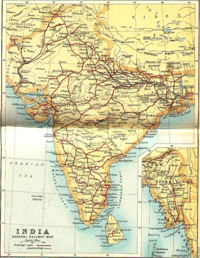
Sir Pattrick Geddes, who was also engaged earlier to provide planning consultancy for Bombay, and S.V Lancaster were commissioned for preparing a plan for Nagpur as a ‘garden city’. The plan provided for a controlled expansion of Nagpur. For a city divided by railway lines, the plan provided a city centre each for the areas east and west of the railway. Mahal area, situated on the east of the rail line was retained as a commercial centre for the old city and a new centre was built on the western side for the newly planned areas, thus resulting in Nagpur being referred to as ‘twin city’ during the colonial period. Central Avenue road was the key transport connection between the old and new areas. Variety Square was the junction of east, west, north and south trunk routes and was also an important point connecting the eastern and western parts of the ‘twin city’. In 1939 the Civil Station Expansion Scheme which spread over 1200 hectare (3,000 acres) was the first layout sanctioned for execution by the NIT.
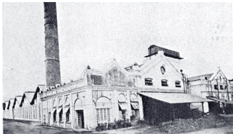
Industrial growth during this period included agro, ginning and pressing units, and timber processing units drawing raw materials from the surrounding districts of the Central and Berar province and other surrounding provinces. In the 1931 Census, over 1,900 ginning and pressing units were present within the City alone. Agroprocessing units sourced the produce grown in parts of Nagpur district and nearby districts of present Madhya Pradesh. The saw mills and furniture units attracted timber from Chandrapur and Bhandara districts and parts of Madhya Pradesh. Nagpur thus served as a regional economic centre in central India. Figure 2-4 illustrates spatial growth of Nagpur from the 17th century up to colonial period.
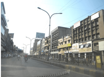
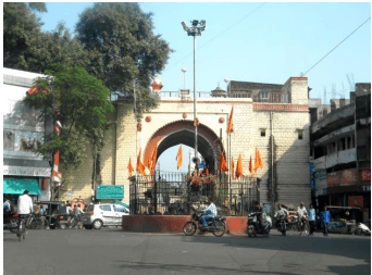
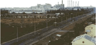
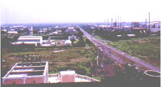
View of Central Avenue road (2013) (Source: Halcrow)
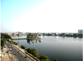
New Shukrawari Lake (2013) (Source: Halcrow)
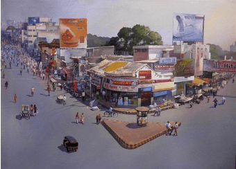
Artist’s impression of Variety Square, Nagpur
(Image credit: Bijay Biswaal. Original Painting; Oil on Canvas by Bijay Biswaal;)
2-8
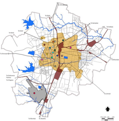
Figure 2-4: Expansion of Nagpur under Gond, Bhonsale and Colonial Rule
Expansion of Nagpur Under the Gond Rule
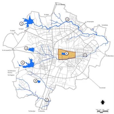
Gorewada Tank 2 Futala Tank 3 Ambajhari Tank 4 Sonegaon Tank 5 Pioli River 6 Nag River Pora River 8 Gandhi Sagar Tank / Jumma Tank
Expansion of Nagpur Under the Bhonsale Rule
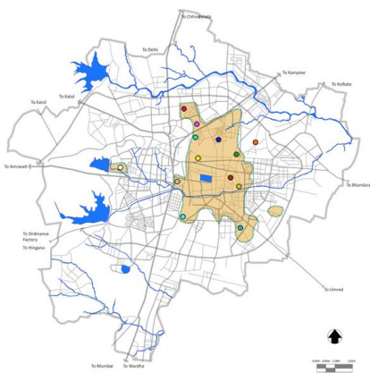
Jaripatka Neighbourhood due to Indora Military Camp Mominpura (Muslim Neighbourhood of weavers & petty Industries) Mangalwari, Somwari, Bastarwari, Neighbourhood of the Kunbies (Cultivators) Gosaipura, MarwaripuraNeighbourhood of Marwaris, Jains,Bohras, Banjaras (Retail & Wholesale Business) Indora Military Camp of Bhonsale's Motibaug, Lasksharibaug (Royal Gardens)
Koshtipura (Neighbourhood of weavers) New Royal Palace (East of Old Palace) Telankhedi, Royal garden & Recreation Place Chitnavispura, Rigvedi Brahmin Neighbourhood Sakkardara Military Camp Sitabuldi Military Camp Ajni Neighbourhood due to Sitabuldi Military Camp
Expansion of Nagpur Under the Colonial Rule
Expansion of Nagpur under the Bhonsale Rule (1743-1854)

Aerodrome - British Air Transport Service Dharampeth - Commercial Area Nagpur University Campus - 1923 Sitabuldi Fort - Administration Zone - 1861 Bazonbaug-Resettlement due to Plague- 1899 Pachpauli-Resettlement due to Plague- 1911 Empress Mill- 1877 Civil Lines-Residential Zone- 1875 Nagpur Improvement Trust- 1936 Bagadganj-Resettlement due to Plague- 1899
Expansion of Nagpur under the Gond Rule (1636-1743)
Seminary Hills - British Residence O Sadar - Commercial Area for the British Takli - British Military Camp - 1851 Hislop College - 1861 Byramji Town - 1917 Nagpur Municipal Authority- 1854 Chhaoni- Transit Camp due to Plague- 1899 O Sitabuldi Suburb - British Army Personnel's- 1854 Dhantoli - Transit camp due to plague - 1920 Railway Line
Fortified City with 6 major gates
Major Thoroughfares: 1) Jumma Street (East-West) 2) Budhwari Street (North-South) 3) Aditwari Street (North-South)
Residential Structure: 1) Kings and Nobles in the Fort to the East 2) Commoners to the West outside the Fort
Commercial area comprised of the Gachipaga open air market
Surroundings of the Jumma Tank comprised the Public Space
Water Supply was from the Jumma Tank
The palace formed the centre for a radial street pattern
Residential Structure: 1) Community based Neighbourhoods 2) Hierarchy of Neighbourhoods based on occupation and caste system 3) Concentration of High Caste near King's palace and low caste towards the fringes
Itwari bazaar was the major commercial activity
Chandani Chowk was established for the Durbar and Temples, Ghats and Akhara's were established at the Nag River bank for common people
Military camps were the major growth centres
Mixed Land-Use of House+Shop+Cottage Industry was the prominent building typology

Expansion of Nagpur under the Colonial Rule (1854-1947)
The civil station (Sitabuldi Fort) formed the nucleus of the settlement.
Residential Structure: 1) New British settlement on the west side of the old Maratha city along the Western highland 2) Well defined land-use pattern 3) Housing development in the form of colonies for security reasons
Sadar bazaar, Temple bazaar & Gora bazaar exclusively for the British.
Maharaja Baug was developed for recreation.
Street pattern was suitable for Automobiles.
Empress Mill, Model mill & the printing industry was located in the East of the old city.
Railway line was the dividing edge between the New & Old city in the West & East.
2-9
Figure 2-5: Expansion of Nagpur in the post-independence period
Expansion of Nagpur Post-Independence
Wadi - Informal Transport Terminal
New University Campus - 1960-70
Gorewada - Water Supply Reservoir for the city from Kanhan & Pench river Major Wholesale Commercial Area serving the region
MIDC Hingana - First Planned Industrial Area Civil Lines - Administrative zone & Major Public buildings
Sitabuldi - Major retail commercial area & New City Centre

Administration: 1) Civil Lines area continued to serve as the Administrative zone
Post Independence Expansion of Nagpur City (1947 - 1976)
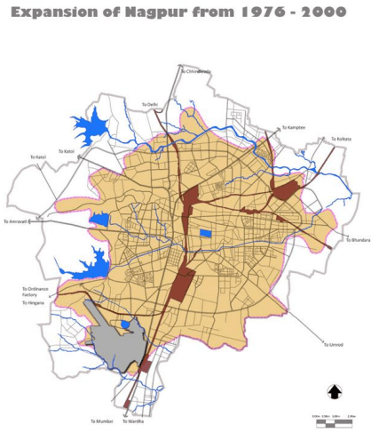
Expansion of Nagpur from 1976 - 2000
Residential: 1) Low rise low density development
Commercial: 1) Sitabuldi emerges as a retail market 2) Itwari continues as a wholesale market
In the period from 1976 to 2000, the Nagpur Improvement Trust took up the initiative of building new transport connectivity and also implemented new layouts to promote residential development in the fringe areas.
Post Independence Expansion of Nagpur City (1976 - 2000)
Consequently the inner ring road was constructed for efficient traffic movement along the periphery of the city.
Industrial: 1) MIDC Hingana developed as a new Industrial area
Nagpur Improvement Trust also initiated policy deccisions such as the Gunthewari act under which the 572 layout scheme was proposed in order to regularize unauthorized layouts which further led to the expansion of the city.
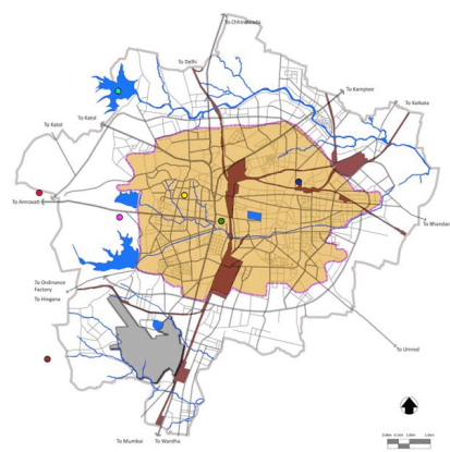
Existing Development Plan of the City
Residential, Abadi, Nitified Slums, Govt. Quarters
Public Utility, Water Reservoir, Pump House
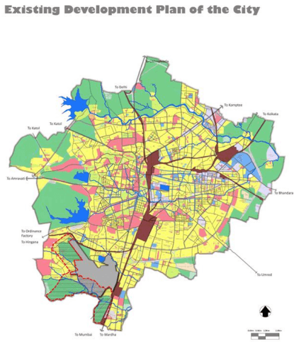
Public, Semi-Public, Govt. Offices, Educational Institutions, Hospitals, Auditorium, Museum, Community Centre, Library, Exhibition Hall, Marriage Hall, Town Hall, Art Gallery, Gymnasium, Gymkhana, Worship Places, Police Station, Police Establishment, M.S.E.B., Post & Telegraph, Fire Station
Industrial, Workshops, Slaughter House, Brick Kilns
Commercial, Godowns, Markets, Shopping Centre, Drive-In Theatre
Railways, State Transport Stand, Truck Terminal, Parking, Wireless Station, Aerodrome Area
Institutional: 1) Large academic & medical institutes in the North-West & South-East were developed to serve the region
Garden, Park, Playground, Stadium, Sports Complex, Club
Water Supply: 1) The city water supply was sourced from the Gorewada tank which stored water from Kanhan & Pench river
Waterbodies
No Development Zone, Agriculture
Burial Ground, Cremation Ground, Cemetery, Kabarasthan
Area under International Multi-Modal Air Cargo and Passenger Hub
Cattle Stable and Dairy Farm
Drainage and Sewage Disposal Work/Scheme
Compost Depot
2-10