6.2.1 Preparation of the Base Map
The base map for the NMA has been prepared after extensive collection and verification of data from various government agencies. The data gathered was also updated to match with latest cadastral maps, Survey of India topographic sheets (used for verifying multiple features), satellite imagery, extensive ground surveys, referencing to the 7/12 form of the revenue department and so on. The Table 6-1 provides sources for each dataset and the methodology for required updates undertaken.
| S No | Data Type | Source | Features | Process Employed for Updating |
|---|---|---|---|---|
| 1 | Cadastral data | NITDeputy.Superintendent of Land Records, Nagpur | Village boundaries, Survey parcel boundaries, and survey numbers. | Cadastral information in AutoCAD format available with NIT used as a base.Cross verification with latest village maps procured from Deputy. Superintendent of Land RecordsUpdates made to cadastral data for parcel numbers, parcel configurations and village namesNo updates required for village boundariesDataset collated and referenced in GIS |
| 2 | Boundaries of other SPAs | MIDCMADC | Existing and Proposed industrial areas | Boundaries of SPAs mapped based on ownership of revenue parcels (procured from MIDC and MADC) |
| 3 | Boundaries of NMC and Municipal Councils of Kamptee and Kalmeshwar | NIT | Municipal boundaries | Based on the sanctioned development plan land use maps of the respective municipal councils |
| 4 | Water bodies | Survey of India topo sheets (1976) 1:50000 scale | Rivers, lakes and other natural features | Names of rivers and lakes, locations of lakes and other water bodies |
| 5 | Irrigation canals | Irrigation Department | Command areas major and minor irrigation projects | Information from Irrigation Department in form of hard copy map.The canal network identified on satellite imagery and then digitized. |
| 6 | Digital Elevation Model (SRTM) | Global land cover facility (GLCF), University of Maryland - freely available | Contours of 5 m intervals | Contours generated from SRTM satellite imagery |
6-2
| S No | Data Type | Source | Features | Process Employed for Updating |
|---|---|---|---|---|
| information in public domain | ||||
| 7 | LISS Satellite image 2005 | Nagpur Improvement Trust -NRSA, Hyderabad | Spatial coordinates, and land features | Natural features verified using the satellite imagery |
| 8 | Forest | Chief Conservator of Forests, Nagpur Office of the District Collector, Nagpur District - 7/12 form of revenue records | Forest (Protected and Reserved) | Protected and Reserved forests data based on information procured from the Forest Department, GoMVerification of ownership using the 7/12 revenue data. |
| 9 | Hills | NIT | Hills | Base information available with NIT in AutoCAD formatVerified through satellite imagery (Google Earth) and ground verificationVerified using government owned land recorded in the 7/12 form |
| 10 | Roads | PWD Road Master Plan 2020National Highways Authority of India (NHAI)Cadastral maps Extensive ground surveySatellite imagery (Google Earth) | Road ROW and Alignments - National Highways, State Highways, Major District Road, Other District Roads, Outer Ring Road | Base information on routes and nomenclatures for mapping roads sourced from the PWD Master Plan 2020.Outer Ring Road alignment procured from NHAIRoute/ alignment mapped through conducting field surveys of all existing roads along with hand-held GPS device. Information transferred into GIS. - all existing roads and links proposed to be upgradedInformation regarding existing roads was cross verified using satellite imagery.ROW information sourced from village cadastral data. |
| 11 | Railway | Office of the DRM, Central Railway (CR) | Existing rail line and right of railway | Rail right of way from CRVerified from cadastral data |
| 12 | High tension (HT) power transmission lines | MSEDCL; Abhijit Power Satellite imagery (Google Earth) | HT power lines from 132kv to 400kv | Base information on voltage and broad alignment was obtained from MSEDCL (non-spatial)The transmission poles were identified on satellite image and then digitized |
| 13 | High flood line - | NIT Central Water | High flood line (HFL) for 50 and 100 year | Major rivers identified using Survey of India topographic sheets |
6-3
| S No | Data Type | Source | Features | Process Employed for Updating |
|---|---|---|---|---|
| Treated as provisional dataset until further verification by the Irrigation Department. | Commission – IMD Isupluvial maps given in report for Subzone 3F | return period (blue and red respectively) | Hydrological model using HEC-RAS Software22 locations along major rivers marked such that catchment for all streams in the project area are representedCatchment for 22 locations derived using Map Window GIS softwareContours from SRTM modelComputation of flood for 22 locations using the Synthetic Unit Hydrograph techniqueVerified (50 year return period) through local enquiry at select locations | |
| 14 | NA Permissions | District Collector, Nagpur | Survey parcels that are allotted NA permission | - |
6.2.2 Preparation of the Existing Land Use map
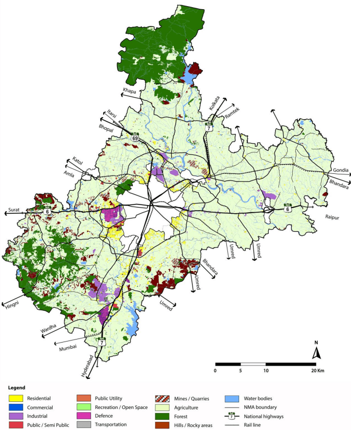
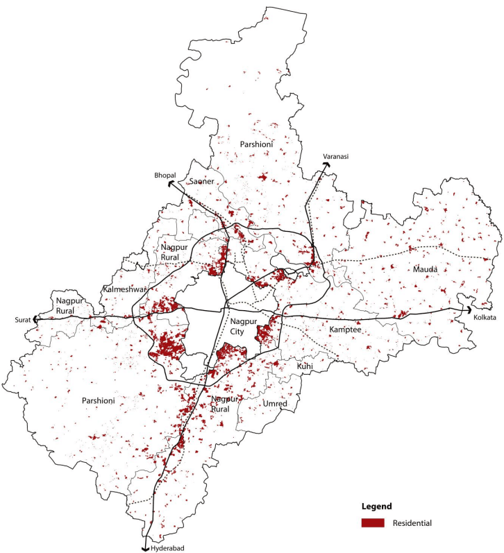
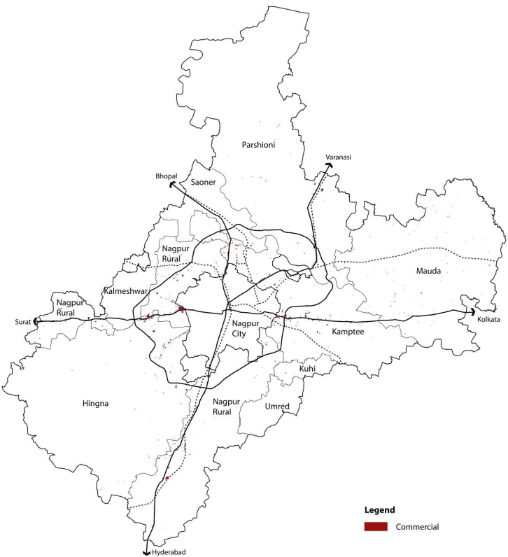
Information on existing land use available with NIT in AutoCAD format was used as a base. This was updated through extensive ground surveys across the entire project area. Various uses were identified during this process. The categorisation of these uses into the 13 classes for the existing land use map is given in Table 6-2. The ELU has been made available in NIT office for public inspection and comments on 22nd May 2014.
| S No | Land Use Classification | Uses Included |
|---|---|---|
| 1 | Residential | All existing residential areas and Gaothans Mixed residential areas (commercial on ground, residential above) Planned developments (layouts for which any development is seen on ground) Congested areas |
| 2 | Commercial | General business and retail shopping areas, fuel stations Wholesale godowns and warehouses Entertainment destinations such as Fun and Food Village, Chokhi Dhani etc., |
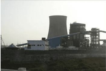
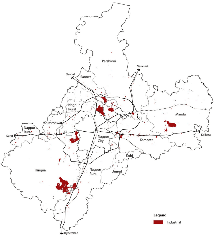
| 3 | Industrial | MIDC industrial estates and MIHAN All light, service, heavy industries Thermal power stations and area included under their townships |
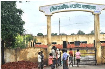
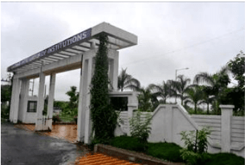
| 4 | Public and Semi Public | Government institutions Public and private medical facilities and hospitals Social and cultural facilities like religious places, auditoriums Education and research facilities like schools, colleges |
6-4
| S No | Land Use Classification | Uses Included |
| 5 | Public utility | Electric substations |
| Overhead water tanks, cremation/ burial grounds | ||
| Cremation and burial grounds, ash ponds | ||
| 6 | Recreation/ open spaces | Playgrounds, parks and gardens |
| Multi-purpose open spaces such as maidans, Jamtha stadium | ||
| 7 | Defense | Area under ownership of the Defense Department |
| 8 | Transportation | Land under existing road right of ways |
| Land under existing rail right of way, station area, rail siding yard, rail sheds | ||
| Bus depots and truck terminals | ||
| 9 | Mines and quarries |