3.1 Topography and Landscape
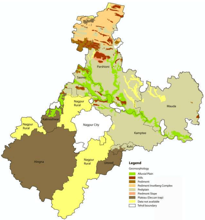
The NMA exhibits topographical features that of the Nagpur district. The area has an average elevation between 350 m and 260 m above sea level (Survey of India topographical map). Its relief features are characterised by the residual hill ranges of the Satpudas and their detached members, enclosing undulating black soil valleys between them. The topography is typical of the Deccan traps1 having flat-top and terraced features, low buttressed sides, and isolated knolls. The landscape changes eastwards and north-eastwards due to the change in the underlying rocks. The greater part of the NMA is an undulating plateau. The terraced landscape of the Deccan lavas on the west has several flat-topped hills well-furrowed on their sides by streams. In the north, the upland ranges are an extension of the Satpuda ranges; these are narrow in the west but widen to a breadth of about 19 km (twelve miles) towards east. South of this upland range stretch the Ambegad hills. Major landforms observed in the region are Pediplain2, Inselbergs 3 and Piedmont zone4in the northern part of the NMA area. Valley fills exist in the north-west to south-east direction. Few highly dissected areas are noticed towards the south.
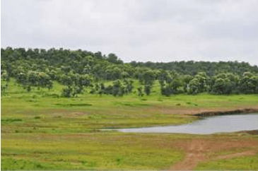
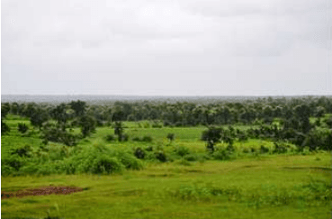
Landforms of the NMA (Source: Halcrow)
1 A large igneous province located on the Deccan Plateau of west-central India
2 Broad, relatively flat rock surface formed by the joining of several pediments (a gently inclined erosion surface carved into bedrock)
3 A residual relief feature – an isolated hill, knob, ridge or small mountain that rises abruptly like an island from a gently sloping or virtually level surrounding plain
4 Area at or near the foot of a mountain
3-1
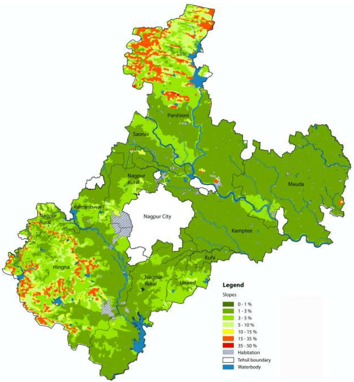
Figure 3-1Figure 3-1 shows the slope within the NMA. As observed, more than 90 percent of the project area ranges within 0-3 percent slope. Northern and the south-western parts have a steeper slope as compared to the rest of the NMA in the range of 10-35 percent. Table 3-1 presents a summary of percent slopes in the NMA.
| Slope | Percent Area Covered |
|---|---|
| 0 - 5 % | 99.78 % |
| 5 - 10 % | 0.08% |
| 10 - 15 % | 0.01% |
| 15 - 35 % | 0.14% |
| 35 - 50 % | 0.01% |