Kochi’s evolution as a major port and international hub for spice trade in the 14th century also saw the development of infrastructure to facilitate the smooth functioning of the port and the market. Bazaar Road was made as the main link road connecting the port and the market. Bazaar Road became the main place in Kochi where traders from all parts of the world came for trade and people from different parts of India came in search of jobs. It became the busiest place in Kochi.
Kochi Municipal Corporation
HERITAGE
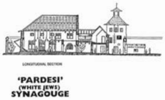
'PARDESI' (WHITE JEWS) SYNAGOUGE
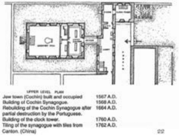
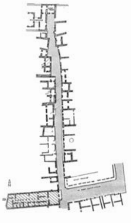
THE JEW TOWN STREET
Figure 9:13 Jew Town Street and Pardeshi synagogue Source: Fort Kochi &Mattancherry –A Monograph,INTACH, 1994
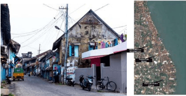
Bazaar Road and its landmarks Source: Generated from land use survey and google imagery.
Kochi Municipal Corporation
HERITAGE
The road is aligned in North-South direction. The Bazaar road is characterised by warehouses designed to conduct trade through water. Piers are located along the water edge which received light cargo carrying crafts. However, this system is not functional now as cargo is carried through land.
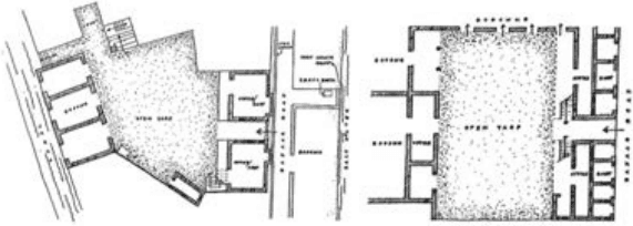
Figure 9:14 Godown + shop + office typology of buildings in the Bazaar road Source: Fort Kochi &Mattancherry –A Monograph,INTACH, 1994
As this place saw the migration of peoples from different cultures, it can be seen as a marker of the cosmopolitanism of Kochi. During the British period, the modernisation of the Kochi port and shifting of the port to Willingdon Island affected the trade on Bazar Road. Bazar Road has witnessed many historical events including the Coonan Cross Oath in the 17th century, which marked a split in the Christian community of Kerala.