The land use occupies 1.59 Ha of area which accounts for 0.02% of the total area. The categories under this land use include monuments and archaeological sites. The major heritage structures within the planning boundary is shown below.
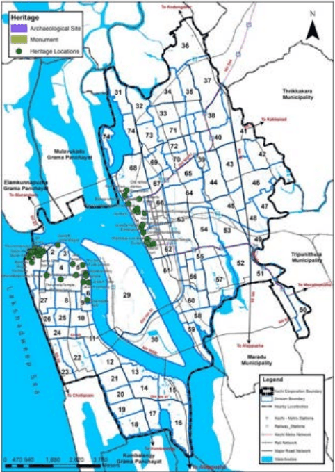
Figure 6:13 Heritage Structure Land Use Distribution Source : LSGD (Planning)
Kochi Municipal Corporation
LAND USE
It can be seen that the majority of structures are concentrated in the areas of Fort Kochi, Mattancherry and in the central city area (Divisions 62, 67 and 68). Some of the structures include Vasco House, St. Francis Church, Fort Immanuel, Mattancherry Palace, Jew Town etc.
6.2.12 Solid Waste Management Land Use
The land use occupies 0.65 Ha of area which accounts for only 0.01% of the total. The facilities marked under this use are specific to the sector. There exists four material collecting facilities (MCF) and one Resource Recovery Facility (RRF) at Ravipuram. The distribution of solid waste management land use is shown below.
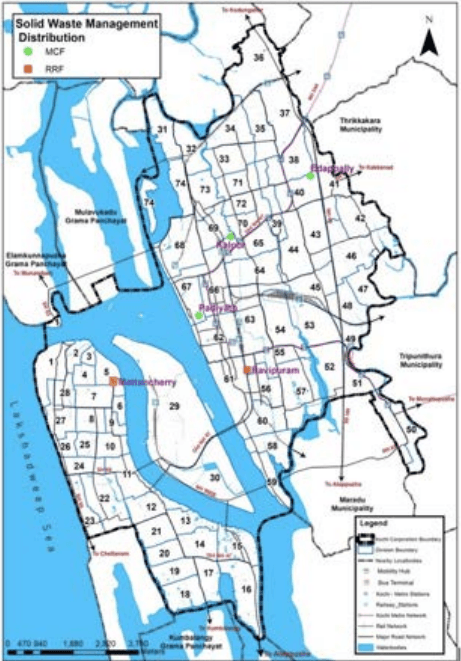
Figure 6:14 Solid Waste Management Distribution Source : LSGD (Planning)
Kochi Municipal Corporation
LAND USE