Realizing the grave threat posed to the Sukhna Lake by soil erosion from the degraded Shivalik Hills, in 1963, the erstwhile Punjab Government acquired 2,598.42 ha of hilly catchment area of the lake from different villages for undertaking soil and moisture conservation works.
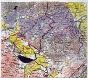
Despite conservation measures taken, the first major ecological problem encountered by the city was the high rate of siltation of the lake. 63% of the lake’s storage capacity had already been eaten away by silt till 1974. After the reorganization of Punjab in 1966, the catchment got divided between the UT of Chandigarh and the states of Punjab and Haryana. Out of the lake’s total catchment area of 4207 hectares, 3312 ha (66% of the catchment area) is in the hills out of which 770 ha now falls in Haryana. Most of the remaining 895 ha of the catchment area in the plains is under agricultural use and habitations and falls partly in Punjab (Kansal village), Haryana (Saketri Village) and the UT of Chandigarh (Kaimbwala village, a part of the Capitol Complex and the Rock Garden).
(Source: Management Plan for Sukhna Wildlife Sanctuary and Survey of India map of the Lake’s catchment).
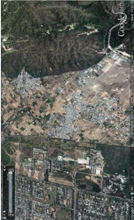
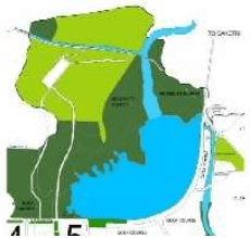
THE CAPITOL COMPLEX AND THE AREA TO ITS NORTH (GOOGLE MAP)

LOCATION OF SUKHNA WILD LIFE SANCTUARY ON THE NORTH OF CHANDIGARH
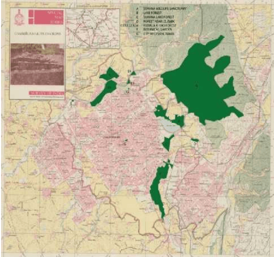
FOREST AREAS IN CHANDIGARH
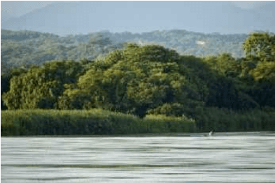
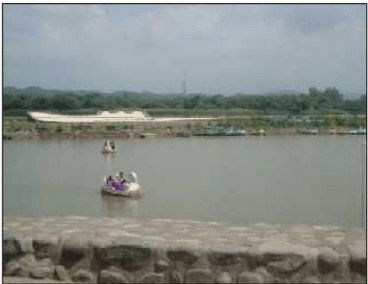
SUKHNA LAKE AND THE RESERVE FORESTS IN THE BACKDROP
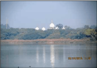
SUKHNA LAKE AND THE FORESTS IN THE BACKDROP
CONCERN - THE DRYING UP OF THE SUKHNA LAKE
EMERGING THREATS TO THE NATURAL SETTING. STRICT MONITORING OF DEVELOPMENTS ON THE NORTH IS ESSENTIAL.
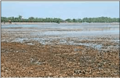
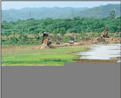
PROBLEM OF SILTATION IN THE LAKE
Examination of the catchment area in the mid 1970s revealed that the highest rate of siltation was taking place in the area adjoining Sukhomajri Village in Haryana due to unregulated grazing in the hills and breaking of hilly land for cultivation. This resulted in the Central Soil & Water Conservation Research & Training Institute taking up an operational research project in the Sukhna catchment from the mid-1970s which led to the famous pilot project of social fencing in Sukhomajri Village. With grazing voluntarily brought under control by the villagers, combined with extensive soil and water conservation measures undertaken under the operational research project, the rate of siltation in the catchment came down dramatically.
Chandigarh’s forest department has subsequently continued intensive soil and water conservation measures including effective closure, large scale plantation, construction of silt detention dams and masonry check dams supported by vegetative conservation measures. These measures have further reduced the siltation rate of the lake to less than 5 tonnes/ hectare/ year and the overall tree density has increased from 162 to 450 trees per hectare. However, this seems to have also decreased the surface water runoff into the lake.
In 1998, the 2598.42 ha hilly area acquired in the lake’s catchment was first notified as a Reserve Forest (RF) and then as a wildlife sanctuary under the Wildlife Protection Act, 1972 with effect from 16.03.1998. This ensured a still higher level of protection to this area for which a separate Management Plan has been prepared. Another 456.31 ha was notified as Reserve Forest in the UT consisting of the Sukhna choe Reserve Forest and Lake Reserve Forest. An additional 23.29 ha of land along Patiala Ki Rao was notified as RF in 1961. With about 9 ha having been diverted for non-forest purposes, the total RF area in the UT (excluding the sanctuary area) at present is 470.38 ha. (source: Working Plan, UT Forest Division and Management Plan for the wildlife sanctuary). Another 183.14 ha adjoinign the Patiali –ki-Rao ,Sukhna Choe and lake RFs is recorded as Unclassified Forest .