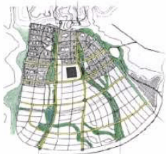
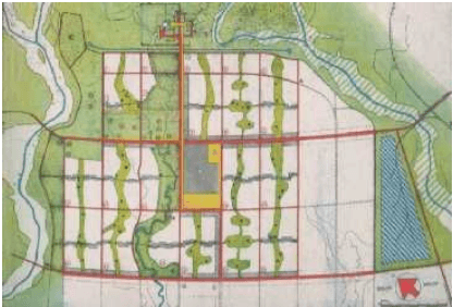
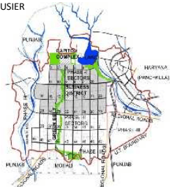
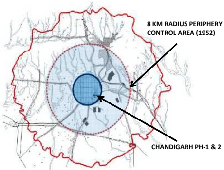
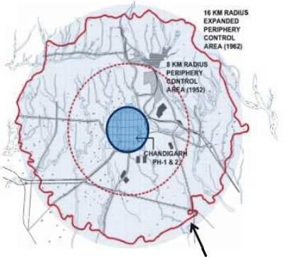
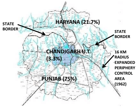
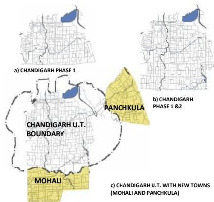
Chandigarh has been politically and administratively symbolic of the aspirations of a newly independent nation reflected in a planned capital city imbued with eminence and personality of its planner Le Corbusier. The last six decades have seen it grow at a pace which is now challenging its contemporariness as envisaged by Le Corbusier, yet giving impetus to growth, some modern some organic in its peri urban zone. This has involved transformation of its socio economic, natural and built environment. The framework for guiding its future growth shall remain constrained by an imposed boundary due to re-organisation of states in 1966.
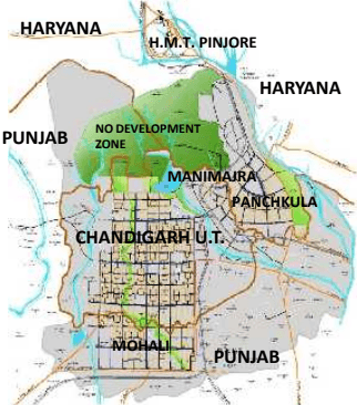
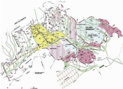
The proposed plan respects its historical legacy and optimises on its constraints of land. The plan is an attempt to redeem an efficient circulation network and extensive lung space as well as the scenic backdrop of the Shivalik Hills against which lies the dramatic Capitol Complex given its due place of pride. The plan provides a useful base for regulating development and building activity in the entire UT of Chandigarh. Thus the reference area for planning constitutes 144 sq km which includes the 60 sectors in the sectoral grid as well as the periphery areas outside it.
The Chandigarh Master Plan 2031 is the first comprehensive plan for developing the city and its periphery within the UT boundary after a spate of adhoc developments impacting its periphery. Some basic postulates for planning need to be emphasised in this context.
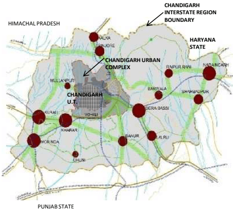
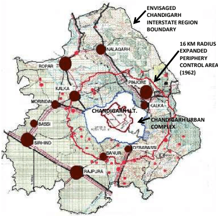
i. Chandigarh shall be planned in the context of the region emerging as a result of dedicated efforts of Punjab, Haryana and Himachal Pradesh which surround the city. This postulate accepts the Territorial Development Strategy in the neighbouring region and confines itself to the UT boundary.
ii. Population Dispersion Strategy and the Housing Strategy for CMP 2031 accepts that balanced regional development of the city can be achieved with the New Towns Development within the region.
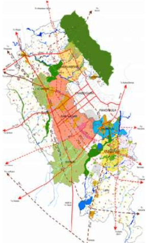
iii. The Chandigarh Master Plan 2031 envisages that the Metro Plan shall consist of the boundaries of the Sub Regional Divisions of Punjab and Haryana to qualify it for the Integrated Transport and Infrastructure policies as well as the Airport Development Strategy. Together these shall constitute aspects of shared responsibility between Chandigarh UT, Punjab and Haryana.
iv.Developments shall be guided along desirable lines in the new areas. Organic pattern of villages where necessary shall be preserved and conserved / conservative surgery where unchecked growth has taken place shall be resorted to / development of villages shall take place as per notified Village Plans.
v. Chandigarh’s architecture shall preserve the vitality of all public and private buildings. Public open spaces shall be created as vibrant community spaces and the left out monuments envisaged by Le Corbusier shall be completed. Urban design shall be the guiding principle for improving the quality of inner and outer spaces.
vi. To make the city more green, more eco friendly, more people friendly, more walking and biking friendly. Mechanism of creating city forests shall be used for improving the micro environment and flora and fauna in the city.
vii. Due regard shall be given to preserve the bountiful natural heritage of forests, wild life sanctuary, green spaces and water bodies within and around the city.
Briefly , the challenge for Chandigarh is to frame strategies for Chandigarh’s growth aligned to the original principles adopted to the rapidly changing context. Though the metropolis today has fewer issues compared to other similar metropolitan cities, yet the immediate issues relate to:
Limited / defined area for the city
High degree of traffic congestion
Large scale urbanization in the periphery