3.1 Background
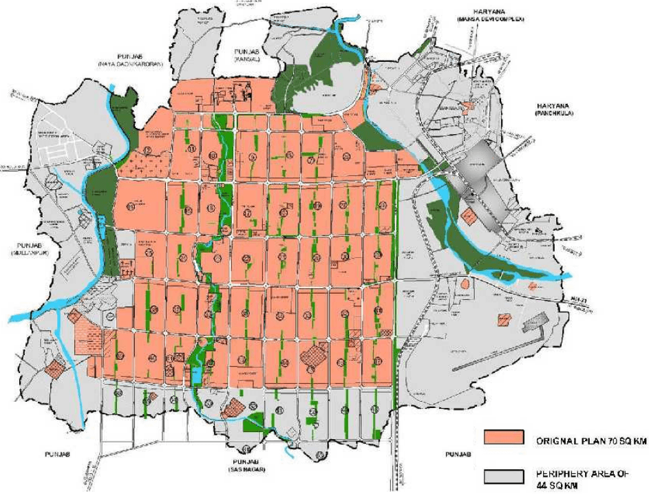
The Master Plan of UT Chandigarh covers an area of approximately 114 sq km.
This includes the nearly fully developed 70 sq km of the area planned by Le Corbusier and his team and the 44 sq km of its 3% share of the 16 km periphery controlled area.
The 44 sq km periphery area of Chandigarh is regulated by the Punjab New Periphery Control Act, 1952 with the exception of the abadi deh of the villages falling within it namely Sarangpur, Khudda Ali Sher, Khudda Jassu, Khudda Lahora, Maloya, Dadumajra, Palsora, Kajheri, Raipur Kalan, Raipur Khurd, Behlana, Hallomajra, Makhanmajra, Kishangarh and Manimajra. The area also includes the two natural rivulets of the Patiali Ki Rao and the Sukhna Choe.
The CITY and the PERIPHERY were intended to have clearly defined functions as per the original plan and the Statute of the Land enunciated by Le Corbusier. The CITY was meant to be the container and the PERIPHERY the provider, and had warned that overlapping of the functions would result in anarchy. This important document has been placed as Annexure MP 1.
The message seems to have gone unheeded as the PERIPHERY succumbed to the pressure of the CITY as is clear from the changed character of the PERIPHERY, which has not only shrunk in size but has transformed from a purely rural area to a peri urban area.
Portions of the PERIPHERY are fully urbanised and in continuum of the CITY and the rest dotted with pockets of spillover of urban uses which the CITY was unable to provide within its clearly defined boundaries.
Portions of the Periphery have also witnessed un- organized and haphazard growth due to the spillover of the abadi deh of the peripheral villages .
Chandigarh has witnessed unprecedented growth and has further momentum for growth which has to be channelized systematically in order to enable the city to sustain itself within the constraints. The plans depicting the GROWTH OF THE CITY since its inception in the first four decades is an indicator to ascertain the future growth patterns of development in the city (refer MAP 1 -10 ).
3.2 Area Included in the Chandigarh Master Plan
The CMP - 2031 recognizes that restoring the original CITY – PERIPHERY concept in its entirety is well nigh impossible at this stage.
This Master Plan is an attempt to provide a comprehensive holistic vision document prepared after undertaking an exhaustive stocktaking of the ground realities and enunciating future growth and development strategies and directions for the entire area under the jurisdiction of the Union Territory of Chandigarh. The Master Plan area thus spreads across the entire 114 sq km of the area of the Union Territory of Chandigarh. The area also includes the census town of Manimajra which has grown from a small settlement having an ancient history to an area under extreme pressure for development due to its prime location on the Chandigarh Kalka Highway, its proximity to the main city of Chandigarh and the expanding existing towns / development of new towns of the State of Haryana.
MAP MP 3 -6 GROWTH OF THE CITY
土
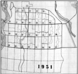
MAP MP 3 CHANDIGARH IN 1951
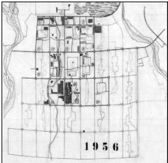
MAP MP 4 CHANDIGARH IN 1956
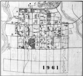
MAP MP 5 CHANDIGARH IN 1961
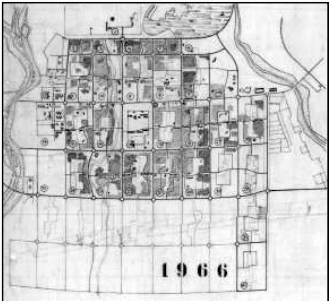
MAP MP 6 CHANDIGARH 1966
MAP MP3 -7-10 GROWTH OF THE CITY
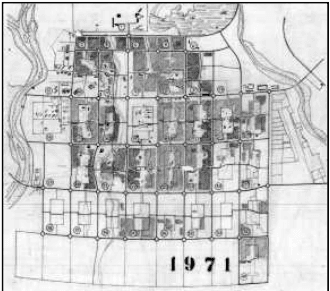
MAP MP 7 CHANDIGARH 1971
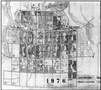
MAP MP 8 CHANDIGARH 1976
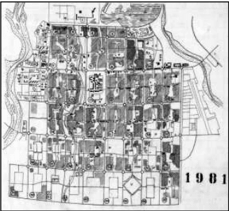
MAP MP 9 CHANDIGARH 1981
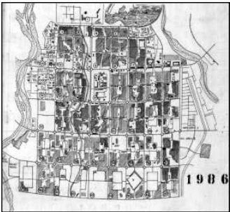
MAP MP 10 CHANDIGARH 1986
MAP MP 11-12 GROWTH OF THE CITY
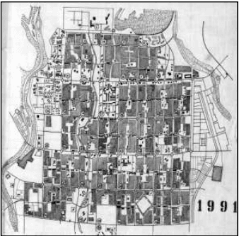
MAP MP 10 CHANDIGARH 1991
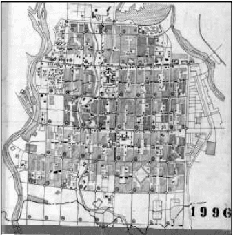
MAP MP 12 CHANDIGARH 1996
3.3 Area Not Included in the Chandigarh Master Plan 2031 (CMP) Area
PLAN MP1 : AREAS INCLUDED AND NOT INCLUDED IN THE CMP 2031
As per Section 48 (5) and Schedule 13th of the Punjab Reorganization Act, 1966, 26 sq km area of the Sukhna Wild Life Sanctuary on the North of th Capitol Complex abutting the interstate boundary, which was acquired fo soil and moisture conservation is in possession of Chandigarh Administratio According to the Forest Department, UT, the area belongs to Chandigarh a per the Reorganization Act, 1966 of Punjab.
This area has not been counted in the Master Plan area as the same reserved/notified as Sukhna Wild Life Sanctuary and no other land use proposed therein. However the CMP-2031 has been prepared giving du consideration to environmental safeguards /measures for the protection o the flora and fauna of the Sukhna Wild Life Sanctuary while defining th landuse, developmental controls, no construction zones for the city as hav been elaborated in detail in the Chapter of Ecology and Environment.
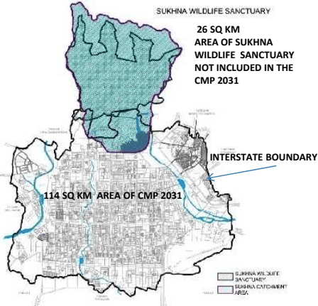
PLAN MP2 : 114 SQ KM CHANDIGARH MASTER PLAN 2031 AREA
土