Floods are temporary inundations of land with water caused by rains, overflowing of rivers, discharges released from large reservoirs, cyclones, tsunami, melting of glaciers and sea tides. It may come gradually and take hours and days together to recede or may even happen suddenly due to heavy rains, breaches in embankments, failure of dams, cloud bursts, storm surge etc. Except for flash floods, there is usually a reasonable warning period.
Floods damage houses/human settlements/crops/infrastructure, endanger human and cattle lives, fragment families, destroy wealth, jeopardize livelihood bases and cause migration. It literally wipes out the socio-economic development achieved so far in the region and drives it to rewrite everything and begin from the beginning: response, relief, restoration, rehabilitation. reconstruction and redevelopment are needed on a very large scale.
PMR being land-locked, floods are caused by either overflowing of rivers due to excessive rains in its catchment or excessive discharge released from reservoirs. The floods cause either breach in embankments or excessive erosions. As chance would have it, out of the four causes and consequences of floods—excessive rains, excessive discharge, excessive erosion, siltation and breach in embankments—only the last two can be controlled and managed. The others are beyond the control of the administration.
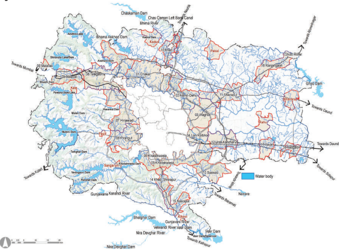
Floods affect most of the talukas within Pune district. As per HRVA assessment 40 villages are likely to be affected by a flood once in 25 years, whereas 35 villages are flood-prone once in 100 years.
Mula, Mutha, Pawana, Indrayani and Bhima rivers are flood-prone and likely to cause flooding in Haveli taluka. Other talukas prone to frequent floods are Shirur, Daund, and Haveli (Bhima River), Pune city and Mulshi (Mutha River), Khed and Maval (Indrayani River), Ambegaon/Shirur (Ghod River) and Purandhar (Nira River).
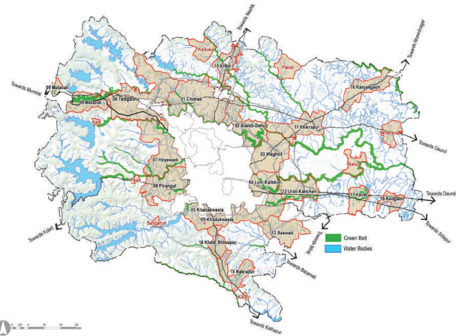
All primary and secondary streams are protected, allowing smooth flow of stormwater into main rivers, in case of excessive rains and discharge. All water bodies, ponds and reservoirs are protected. Flood lines are demarcated, and lands between blue lines and river banks are protected through Green Belt Zone. This, in turn, will reduce the risk of floods affecting settlements.
Figure 15.2: Green Ribbon