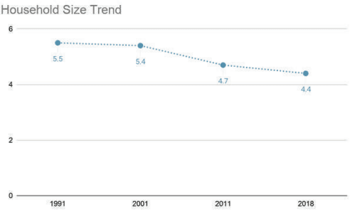
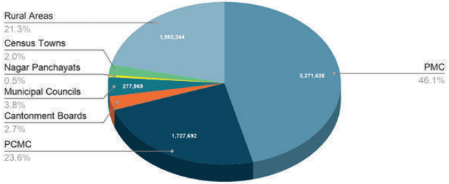
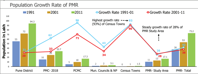
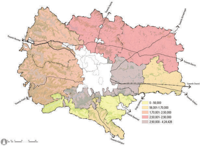
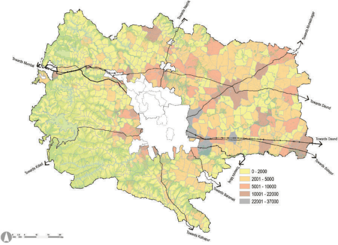
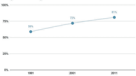
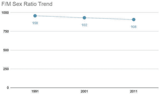
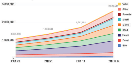
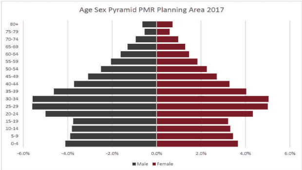
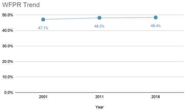
Land Use Planning for Study Area is based on assessment and projections of three key indicators - population, households and employment.
Projections are carried out for 2018, 2021, 2031 and 2041 for planning purposes. Most of the existing statistical information is available at taluka/district/state level, whereas Study Area is defined with villages (814 villages). This necessitated compilation of indicators mentioned above at the village level in the following manner:
-
Census data (1991, 2001, 2011) provides village wise population, households and employment information. It is used as a base for projecting population, households and employment for 2018, 2021, 2031 and 2041.
-
There is always a risk of linear projections based on only Census data since it does not capture the effects of major socio-economic disruptions that may occur between Census surveys. To avoid this, two more datasets have been referred to, namely- Directorate of Economics and Statistics (DES) data and Household Survey data collected under the Comprehensive Traffic and Transport Study by PMRDA in 2018.
-
District level data from Directorate of Economics and Statistics provides the total number of persons employed by economic sectors and by establishments (Report on Sixth Economic Census Maharashtra State 2013-14).
-
Study Area’s employment data (Census 2011) is projected till 2014 and subdivided into above economic sectors based on sector-wise shares depicted in the Sixth Economic Census of Maharashtra 2013-14.
-
Numbers have been ratified using sector-wise employment findings from the CTTS Household Survey.
-
Population projections are carried out for the Study Area and Pune Metropolitan Region separately. Forecasts for the Study Area are based on arithmetic and URGD methods where village wise population, households and employment is projected.
-
Incremental increase method is used to project population for municipal councils, whereas the projections for PMC, PCMC and cantonments are retained as per CTTS.