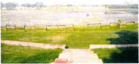
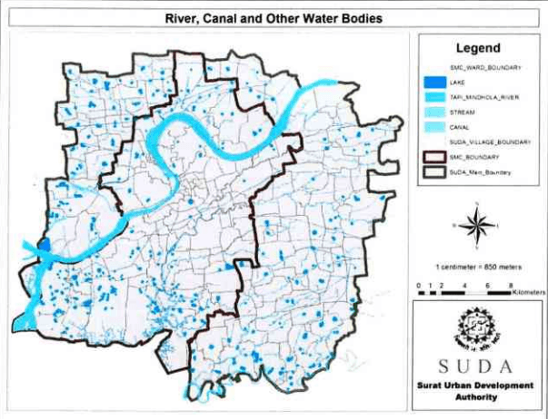
The Tapi River runs through the city of Surat, is one of the major rivers of peninsular India with a length of around 724 km. It is one of only three rivers in peninsular India that run from east to west. The river covers 3601 hectare of the total land under SUDA along with small portion of Mindhola estuary as well on southern part of SUDA area. SUDA region have about 898 no of small and large size lakes covering about 548ha of land area under lakes and pond.
SURAT URBAN DEVELOPMENT AUTHORITY |
| 150
Page
| Sr.No. | Authority | Name of Taluka / Zone | Total Number of Villages / Ward | Number of Ponds or Lake in The Taluka / Ward | Area of The Water Body Per Taluka / Ward (ha) | No. of Notified Lake / Pond |
| 1 | SUDA | Kamrej | 17 | 53 | 26.020 | |
| 2 | Palsana | 17 | 56 | 33.658 | ||
| 3 | Olpad | 17 | 117 | 71.444 | ||
| 4 | Choryasi | 44 | 373 | 238.647 | ||
| 5 | SMC | North Zone | 15 | 19 | 7.480 | |
| 6 | Central Zone | 16 | 01 | 7.539 | ||
| 7 | West Zone | 22 | 39 | 24.098 | ||
| 8 | East Zone | 19 | 13 | 4.280 | ||
| 9 | South West Zone | 24 | 185 | 85.750 | ||
| 10 | South Zone | 15 | 42 | 48.639 | ||
| 11 | South East Zone | 14 | 00 | 0.0 | ||
| Total | 220 | 898 | 547.555 | |||
Source: SUDA Existing Land Use Map
|151
C C C C C C C C C C C C C C C C C C C C C C C C C C C C C C C C C C C C C C C C C C C C C C C C C C C C C C C C C C C C C C C C C C C C C C C C C C C C C C C C C C C C C C C C C C C C C
2017
Figure 57: River, lakes and water bodies in SUDA
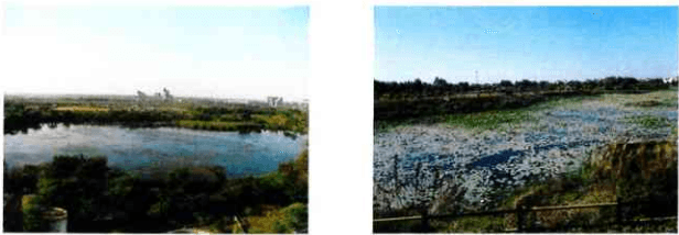
SUDA and SMC have developed walk way on river front and some of the lakes and Sea – shore for recreational purpose. Notable examples include Gaviyar Lake, Lake at Subhash Garden, Dummas Beach, Sultanabad – Dummas, Umbher lake, GopiTalav, Out of total, 13 lakes have been interlinked as on today for managing storm water during the monsoon.
Figure S8: Area Developed for recreational purpose
SURAT URBAN DEVELOPMENT AUTHORITY |
Page
|153
DEVELOPMENT PLAN 2035 | 2017