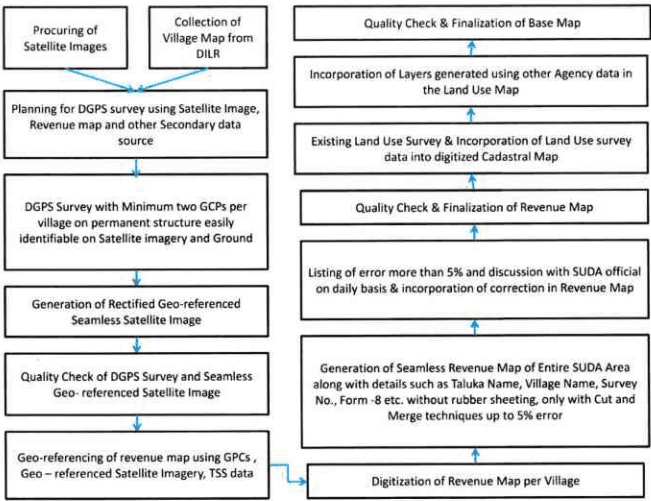
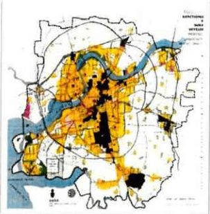
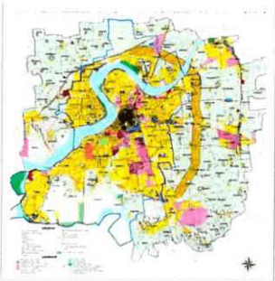
The remote sensing techniques were used for the first time in preparation of the digital base map of the SUDA area. All the village and ward maps, TP scheme maps were converted to one single digital format which was then geo-referenced. All the different maps were put together to form one complete map, errors were identified and rectification was done followed by attaching layers of different types of information. All the TP area and non TP area maps were digitized, geo-referenced and put together to form the final base map. A complete list of data layers attached to the base map is provided at the end of this subsection.
SURAT URBAN DEVELOPMENT AUTHORITY |
Page
3.3.1 Input Data
- High Resolution (0.6m) Quick Bird Satellite Imagery
- DGPS survey
- Cadastral Maps
- Layout Plans
- SOI Toposheets
3.3.2 Preparation of Base Map
Figure 10: Process of Base Map preparation