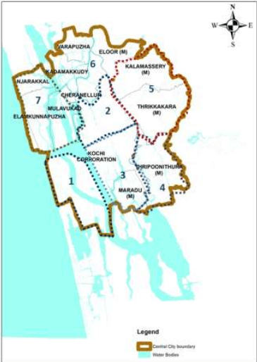
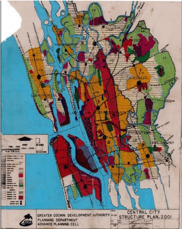
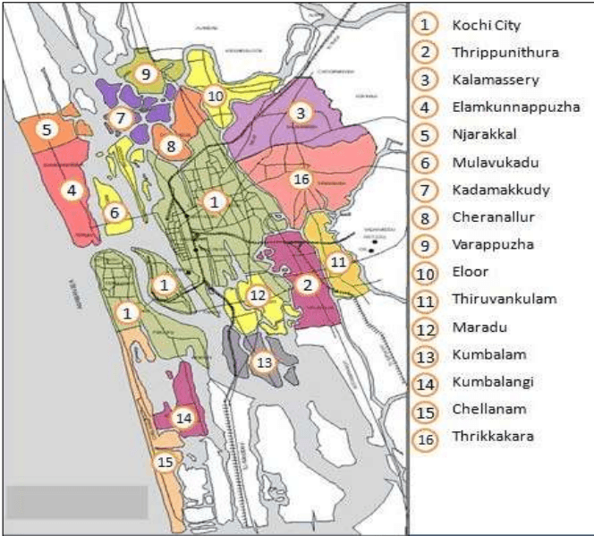
In order to envision the future growth of a city like Kochi, it is imperative to understand its existing spatial structure and development direction. The development direction is understood from the concepts adopted in previous master plans and development documents, building footprint analysis of Kochi corporation area, utilisation pattern of existing FAR limits, net population density distribution, general environmental vulnerability conditions heritage conservation and exploring the concept of Transit Oriented Development along metro corridor. Similarly the existing spatial structure of Kochi corporation area has been obtained by analysing using a GIS tool kit which helps to develop and understand the activity zones, activity pattern, land-use concentration index and functional character of the study area. An analysis on hierarchy of commercial nodes to understand the relevance and distribution of major commercial nodes, the existing transportation network within the city and the distribution of natural assets has been also included to obtain the existing spatial structure of the Kochi Corporation. The development direction and existing spatial structure has been brought together to derive at a future concept for development and then create an idea of how the future growth would be in each sector. The overall framework helps us to arrive at the proposed development structure for the city which would enable growth by sustainably utilising the existing resources and create an improved quality of life for its citizens.
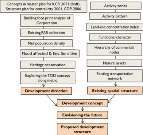
Figure 28:1 Schematic representation of creating of Proposed Development Structure Source: LSGD (Planning)
Kochi Municipal Corporation
DEVELOPMENT CONCEPT