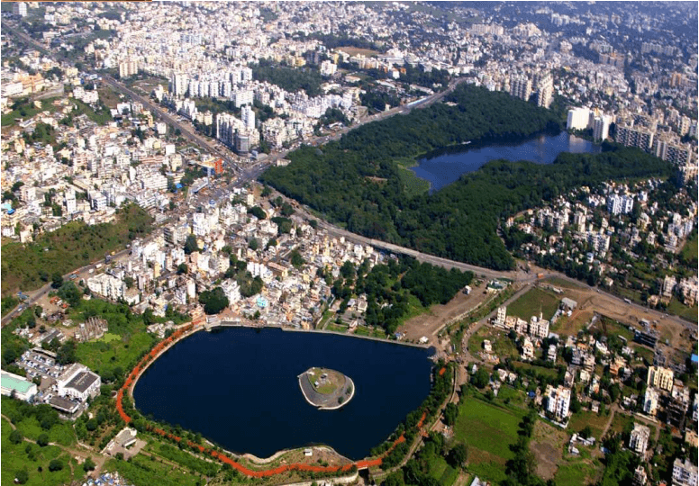
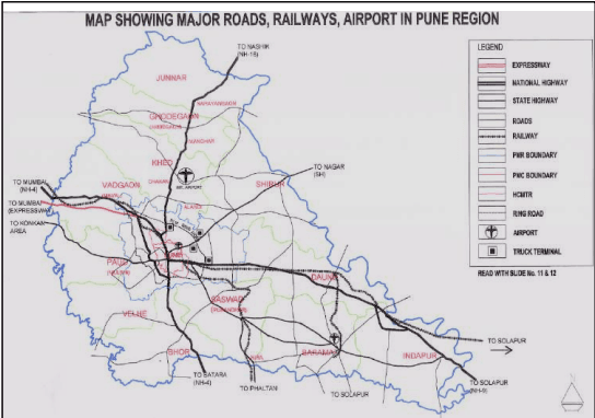
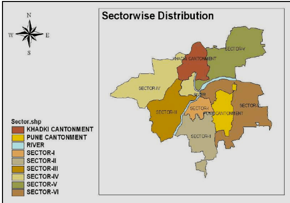
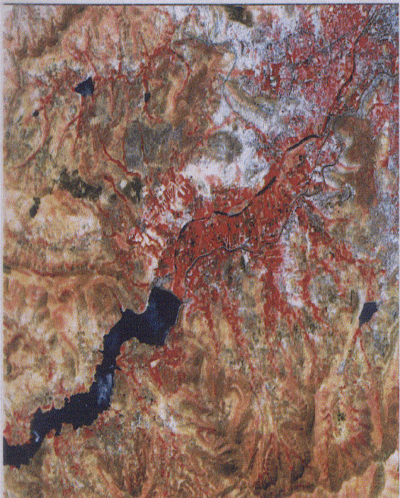
The city of Pune lies in the eastern belt of Maharashtra State on the South East of Mumbai at a distance of 178 kms and at a height of 1840 feet (560 meters) above mean sea level. It is located between 17 Degrees 50 Minutes N and 19 Degrees 24 Minutes N latitudes and 73 Degrees 19 Minutes E and 75 Degrees 10 Minutes E longitudes. Several National and State Highways pass through the city. Prominent among them are Mumbai-Banglore National highway No. 4, National highway no. 16 Pune-Nashik, State highway Pune- Ahmednagar, Pune–Solapur-Hyderabad National Highway, etc Central Railway has a connection from Mumbai-Pune double line broad gauze, while, it further goes to Solapur via Daund. Another, branch of Central Railway goes to Miraj and further to Goa from South Eastern direction via Saswad, Jejuri and Neera station etc.
The city is situated at the confluence of the rivers Mula and Mutha and bounded by Alandi Town on the northern boundary and Katraj Ghat on the southern boundary, which are located about 20 Km and 16 Km respectively from the city. Located at about 30 km from the city on the eastern side, is the village of Urali-Kanchan. The city is blessed to have a number of hills. Prominent among them are Chaturshrungi, Bhamburda Van Vihar, Law College hill, Hanuman hill, Vetal hill, SNDT hill, on the southern side, hill in Wadgaon, Dhayari, Hingane, Parvati, Bibwewadi, Dhankawadi, Katraj and Ram tekadi on the South of Pune-Solapur road.
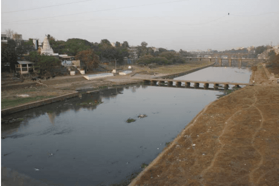
The Mutha River flows from western side to eastern side towards Daund. Mula River, which is coming from Western side of Pune City, meets the Mutha river near Sangamwadi and then the combined rivers flow towards Solapur side. Width of Mutha River bed is 200 meters (660 feet). From the riverbed of Mutha, highest portion in the Pune City is Kedareshwar hill, which is about 612 meters from the riverbed.
Mutha River – Major Feature Of Pune City
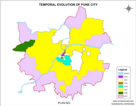
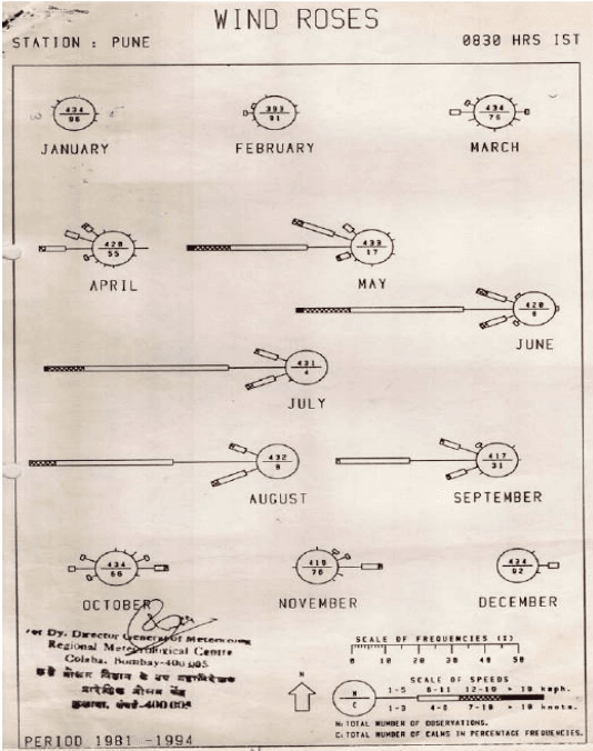
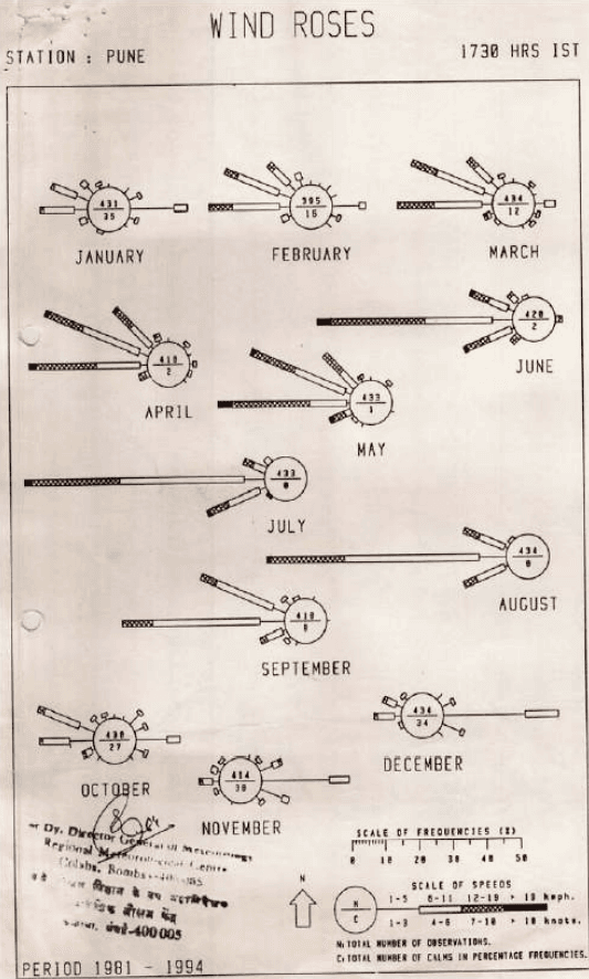
During summer, maximum temperature in the city can go up to 4 4 0 ; while in the winter, temperature can go as low as 5 to 6 0 . Average rainfall is about 62.5 cm. In short, the weather is balanced i.e clear and sub tropical. The Western portion from Mulshi, Maval, Tahsil in Pune District, contains black soil where the main crop is paddy. This is because the rainfall in this area is about 100- 105 cms. At some places, it is black. Generally, all lands to the north, west south and east have generally reddish soil. The city was the jahagiri of Chhatrapati Shri. Shivaji Maharaj till the 1 6 t h century and till that period, the city was growing slowly. The place of residence of Shri. Shivaji Maharaj near Kasba Ganpati temple was known as Lal Mahal. The construction pattern was typical consisting of basements, Ground floor, Upper floor and it was a fortified structure. The city was ruled by the Maratha kingdom from 1600 to 1818 after which, the British rule came in to force. The City further extended beyond Kasba Peth up to the river towards the western side, up to Shankarsheth Road on the Southern side and up to Cantonment on the Eastern side. The City was divided in 16 Pethas which is termed as the core City. Many religious temples, Churches, Mosques were constructed in the City.
The residential development was mostly taking place in the city, with some sporadic commercial development taking place in Budhwar Peth, Ravivar Peth, Bhawani Peth and Nana Peth. The city has transformed from its embryonic form of Kasba peth to a huge city of 244 sq.km, with immense potential to become one of the top cities of India.