This page explains the categories listed in the supplied HMDA MDP 2031 sheet for Hayathnagar. It is a reading guide, not a parcel-specific zoning determination. Match the mapped hatch/fill and boundary to the full legend on the preceding map sheet, then verify against the official high-resolution plan and applicable orders.
HMDA MDP 2031 — HATNURA MANDAL MAP

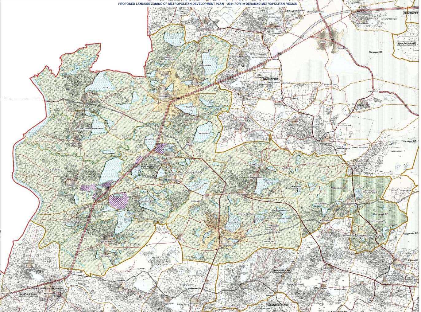
Proposed Landuse and Road Network for Hatnura Mandal Medak District
| LEGENDREFERENCE | |
| HMDA BOUNDARY | NATIONAL HIGHWAYS |
| ERSTWHILE HUDA BOUNDARY | STATE HIGHWAYS |
| ERSTWHILE HADA BOUNDARY | CUTTER RING ROAD |
| ORR GC BOUNDARY | MAJOR ROADS |
| DISTRICT BOUNDARY | RURAL ROADS |
| MANDAL BOUNDARY | KACHA ROADS |
| VILLAGE BOUNDARY | TANKBUND |
| CADASTRAL BOUNDARY | DRAINAGE LINE |
| RAILWAY LINE | |
Proposed Landuse Zoning I.residential Use Zone
Vi.multiple Use Zone
Vii.recreation and Open Space Use Zone
RRECREATIONAL USE ZONE OPEN SPACE BUFFER (AROUND FORESHORE OF WATERBODIES) HIMAYATH SACAR AFFORESTATION ZONE
RAILWAYS/ RAILWAY STATIONS BUS DEPOTS, PASSENGFR/ FRFIGHT TERMINALS AIRPORTS
Mew whonl prwmnl lew me ond re oweoaiy o the ond Road width ta se sead and rot to bo rsussé Adw Werofive eunderea cre en per Viiape oecaol deta. Whe rokvant G.Os ond neol Menler Mem. Land asa procas and cning and Cwveicprant nomodon Raguatons ars saciedto nrictiors on devioent acties in Tha Open Sqaoe Uae Zone - Rufia' alcog laios, puonads, strwams, svers and cthwr nader hodies she i be a per neinar: G.Os whe euw na eomciooy mearnl in he plen lsapectine Zoning à Devicprment Fnomnoticr Fbeguiatiora or the Noefied Masler Plena - 1iADA snd OfGO srw spplicatie umisms stated Perilsion grwed for esideta Iratutio an industrial use ard soutaby D, TP anc APC pr or to tho raficaion af ts Land ver cas for the etanded ae a hsed ce t imagery () -G V & OARTOG - Caloslial andoerselion peomde in Ewe bese rog i as po socnts rode eval sdlo ly Ca3, Zaruty ane Land Kaoris anl ather senwened Hetebuld end pecrch ee wujete o the rgulon prcrbed b the relee Noona/ Co. OnteC.O whver Ch ga of Land Use sodfat by fw Dovemmet In the rof fed Mealer Flans, rolffed reedetey pior to noll Icetion of ihis plan ll pval aver ta Lad tse arapasd i tha Ri the prejact pars and as seing inglerrinoed on graund. Nore ohe lcaon o per Sury ef a nects end er indcatve Looi ue o e rone/nae in rwoeue seonde wybe al clyt varianes Forw: boundaries shal bo reckoned sa per the forwst depwrtment romoide sed shail promel over tw Master Pisn propmsals in cmo ef

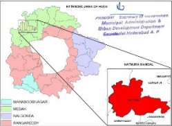
LOCATION MAP
| Sheet no :03 |
|---|
| Sheet size: 24" X 40" |
Legend Explanation — Hatnura